With Sam Langton, Manchester Metropolitan University.
Recorded 12th May 2020.
Resources and links for the session: http://bit.ly/ODM-PNM2G
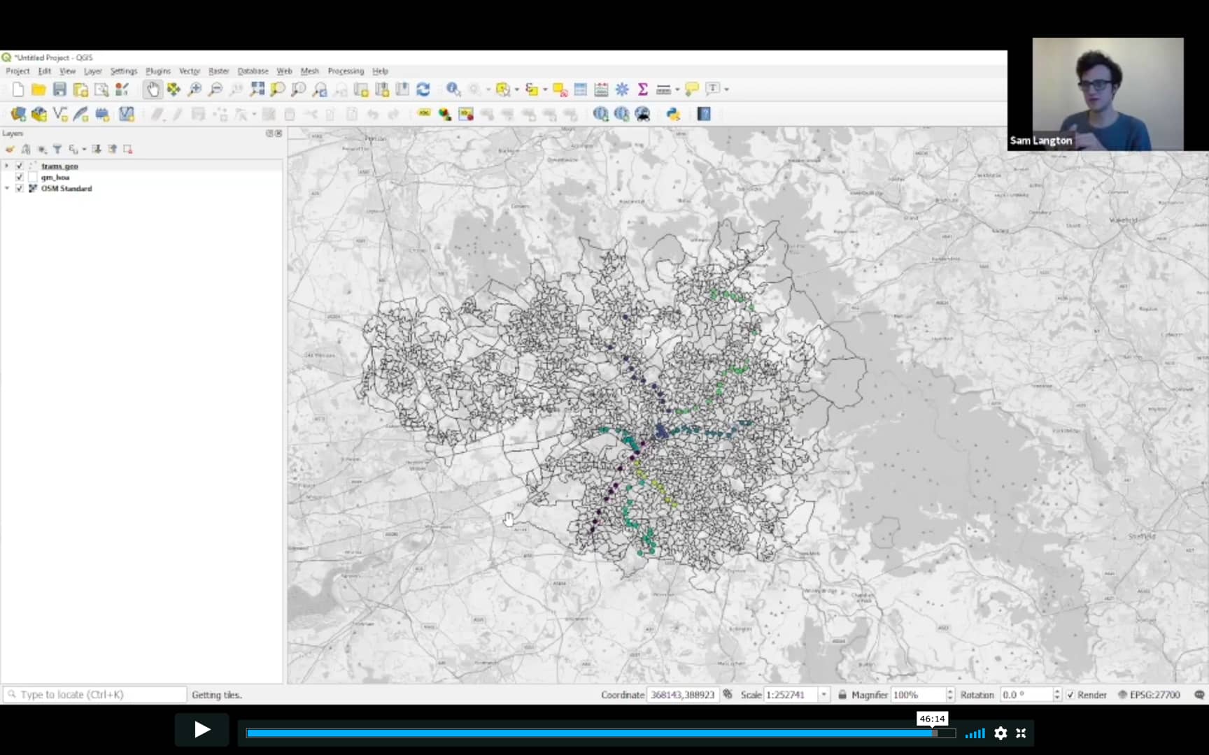
QGIS is a free, open-source cross-platform geographic information system that lets you view, edit and analyse geospatial data.
In this session, we'll:
- begin to explore QGIS
- outline some key fundamentals of mapping
- demonstrate how to load in data and perform preliminary visual explorations
- create aesthetically beautiful (but accurate and useful) maps.
What you'll need:
- No prior experience with QGIS is required.
- If you would like to follow along with the demonstration, you can download the latest stable release of QGIS (version 3.10) directly from the website. It is completely free.